Collection Items
-
 MapJapanese pre-war colonization Cover title. English and Japanese, with ms. Spanish translations of Japanese captions. Available also through the Library of Congress Web site as a raster image. 南洋二於ケル邦人拓殖事業状況圖 --Japanese Enterprises in the South Seas and the Distribution of Japanese Nationals -- Distribution of Products in the South Seas Area -- 邦人世界分布圖 -- Japanese Nationals Living Abroad -- Distribution of Japanese Nationals [Asia, Oceania] -- Distribution of…
- Contributor: United States. Federal Bureau of Investigation
- Date: 1935
- Resource: Image - 19
-
 Map[Tours in the United States by famous American actors and actresses, 1865-1904]. These maps were created under the sponsorship of the Federal Theatre Project, founded in July 1935. The Federal Theatre Project (FTP) was designed to re-employ theater workers on public relief and to bring theater, which would be national in scope and regional in emphasis, to thousands in the U.S. who had never before seen live theatrical performances. During its four-year existence (1935-1939), the FTP…
- Contributor: Federal Theatre Project Collection (Library of Congress) - Federal Theatre Project (U.S.)
- Date: 1935-01-01
- Resource: Image - 7
-
 MapArmy Medical Center, Walter Reed General Hospital, Washington, D.C., post map "Feb. 1935." Blueprint. Available also through the Library of Congress Web site as a raster image. Includes note. LC copy fold-lined and annotated in yellow pencil to show names and additions. DCP
- Contributor: Walter Reed Army Medical Center. Office of the Quartermaster
- Date: 1935
- Resource: Image
-
 MapPost route map of the state of West Virginia : showing post offices with the intermediate distances on mail routes : January 1, 1935
West Virginia "Revised by C.F. Hohoff." Includes index to counties and inset. Available also through the Library of Congress Web site as a raster image.- Contributor: United States. Post Office Department - Hohoff, C. F.
- Date: 1935-01-01
- Resource: Image
-
 MapA physiographic diagram of the driftless hill lands : [Wisconsin] Shows Wisconsin drift sheet, including portions of southeastern Minnesota and northeastern Iowa. Relief shown by landform drawings. Pen-in-ink over pencil on tracing cloth. Gift; Arthur Howard Robinson; 1991. In pencil in upper margin: For dimensions see letter D. Whittlesey, same size, Amer. geographer, Fig. 1. Imperfect: Discolored rectangular area in upper right. Available also through the Library of Congress Web site as a raster…
- Contributor: Smith, Guy-Harold
- Date: 1935
- Resource: Image
-
 MapA hysterical map of the Grand Coulee Dam (to be the world's largest concrete example), also the Grand Coulee & Dry Falls : a land of game & scenic splendor A panoramic view. Relief shown pictorially. Available also through the Library of Congress Web site as a raster image. Inset map of dam area with north oriented towards the lower right.
- Contributor: Lindgren, Jolly
- Date: 1935-01-01
- Resource: Image
-
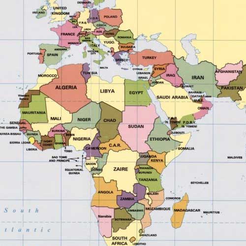
 MapAbyssinia. Relief shown by form lines and spot heights. Includes provisional sheets. Available also through the Library of Congress Web site as a raster image.
- Contributor: Great Britain. War Office. General Staff. Geographical Section
- Date: 1935-01-01
- Resource: Image - 4
-
 CollectionGeneral Maps This category includes maps that typically portray the physical environment and a variety of cultural elements for a geographic area at a particular point in time. The maps in this category show a geographic area larger than a city or town and do not display a subject that is part of one of the thematic categories.
- Date: 1290
Collection Items: View 6,866 Items