Collection Items
-
 MapTopographic map of the Island of Oahu : city and county of Honolulu, Hawaii Relief shown by contours and spot heights. Available also through the Library of Congress Web site as a raster image. Includes location map.
- Contributor: Geological Survey (U.S.)
- Date: 1938-01-01
- Resource: Copy 1 - Image
-
 MapKarte des deutschen Reiches 1:100 000 : Übersichtsblatt Nr. 2 "Stand März 1938." Includes notes. LC copy is a photocopy of unknown date on four sheets taped together. Available also through the Library of Congress Web site as a raster image.
- Contributor: Germany. Reichsamt Für Landesaufnahme
- Date: 1938
- Resource: Image
-
MapKarte des deutschen Reiches 1:100 000 : Übersichtsblatt Nr. 2 "Stand März 1938." Includes notes. LC copy is a photocopy of unknown date on four sheets taped together. Available also through the Library of Congress Web site as a raster image.
- Contributor: Germany. Reichsamt Für Landesaufnahme
- Date: 1938-01-01
- Resource: Image
-
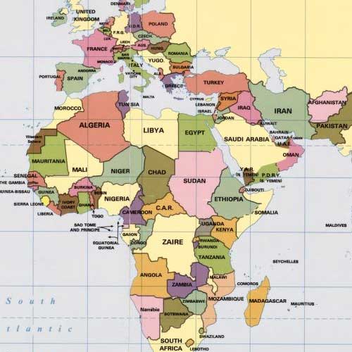 CollectionGeneral Maps This category includes maps that typically portray the physical environment and a variety of cultural elements for a geographic area at a particular point in time. The maps in this category show a geographic area larger than a city or town and do not display a subject that is part of one of the thematic categories.
- Date: 1290
Collection Items: View 6,866 Items