Collection Items
-
 Web ArchiveNCGDAP: North Carolina Geospatial Data Archiving Project Website. electronic | Electronic (Form).
- Date: 2023
-
Web Archive
-
Web ArchiveESRI | Technical reference materials and help files Website. electronic | Electronic (Form).
- Date: 2017
-
Web ArchiveQGIS: A Free and Open Geographic Information System QGIS (previously known as Quantum GIS) is a widely used open source geographic information system (GIS) software package for rendering and analysis of both vector and raster spatial data. QGIS was first released in 2002. Website. electronic | Electronic (Form).
- Date: 2012
-
Web ArchiveGeoDa: An Introduction to Spatial Data Analysis GeoDa is an open source not-for-profit software program for spatial data science that uses a graphical interface to explore spatial data analyses such as spatial autocorrelation and basic spatial analysis regression. GeoDa was developed by Dr. Luc Anselin and first released in 2003. Website. electronic | Electronic (Form).
- Date: 2023
-
Web ArchiveOpen Geospatial Consortium The Open Geospatial Consortium (OGC) is a voluntary standards organization comprised of businesses, government agencies, research organizations, and universities who have the stated goal of making geospatial services and information "findable, accessible, interoperable, and reusable." OGC members contribute toward the creation of open geospatial standards. Website. electronic | Electronic (Form).
- Date: 2011
-
Web ArchiveEsri | GIS Mapping Software, Location Intelligence & Spatial Analytics Esri is a leading producer of commercial geographic information systems (GIS) software, including the ArcGIS suite of software (ArcInfo, ArcMap ArcGIS Pro). Esri is also the creator of proprietary geospatial data formats such as shapefiles (.shp) and geodatabases (.gdb). Website. electronic | Electronic (Form).
- Date: 2001
-
Web ArchiveL3Harris | Geospatial Solutions & Analytics | Remote Sensing Technology Harris Geospatial produces ENVI+IDL, one of the most common commercial software packages for image analysis from geospatial satellite imagery, common to the field of remote sensing. Website. electronic | Electronic (Form).
- Date: 2023
-
Web ArchiveGeoMAPP: Geospatial Multistate Archive and Preservation Partnership GeoMAPP was a NDIIPP funded partnership between the Library of Congress and state geospatial and archives staff from North Carolina, Kentucky, Montana, and Utah. The project aimed to explore methods and procedures related to long-term preservation of geospatial data. The project that ran between 2007 and 2011. Website. electronic | Electronic (Form).
- Date: 2023
-
Web ArchiveClark Labs TerrSet (formerly known as IDRISI) is a geographic information system (GIS) software package developed by J. Ronald Eastman and Clark Labs at Clark University. It is designed for monitoring and modeling the earth system for sustainable development, and includes modelers for land change, habitat and biodiversity, ecosystem services, earth trends, and climate change adaptation. Website. electronic | Electronic (Form).
- Date: 2002
-
Web ArchiveShapefile must die! Switch From Shapefile describes pros and cons of the shapefile (.shp), arguably the most popular vector format for geospatial data. Website. electronic | Electronic (Form).
- Date: 2023
-
Web ArchiveTerraGo TerraGo is a geospatial application company which pioneered technology and developed related standards for GeoPDF and geospatial PDF file formats. Website. electronic | Electronic (Form).
- Date: 2008
-
Web ArchiveCenter for Spatially Integrated Social Science (CSISS) The Center for Spatially Integrated Social Science (1999-2013) aimed to develop unrestricted access to tools and perspectives that would advance the spatial analytic capabilities of researchers throughout the social sciences. The website documents the Center's reports and presentations, while the CSISS Tools Clearinghouse contains documentation related to Waldo Tobler's FlowMapper software. Website. electronic | Electronic (Form).
- Date: 2023
-
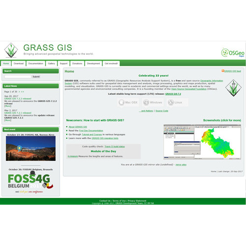
 Web ArchiveGeographic Resources Analysis Support System (GRASS GIS) Geographic Resources Analysis Support System, also known as GRASS GIS, is a geographic information system software package published under a GNU general public license. GRASS has been in development since 1982 with strong original involvement from the US Army Corps of Engineers. Website. electronic | Electronic (Form).
- Date: 2017
-
Web ArchiveGeospatial Data Abstraction Library (GDAL) Documentation The Geospatial Data Abstraction Library (GDAL) is a computer software library developed by the Open Source Geospatial Foundation for reading and writing raster and vector geospatial file formats. GDAL is a widely used, cross-platform library incorporated into many geospatial software programs. Website. electronic | Electronic (Form).
- Date: 2011
-
Web ArchiveOSGeo - The Open Source Geospatial Foundation Open Source Geospatial Foundation is a major coordinating body of various geospatial projects and platforms. Website. electronic | Electronic (Form).
- Date: 2017
-
Web Archive
-
 CollectionGeospatial Software and File Formats Documentation Web Archive The Geospatial File Formats and Software Web Archive seeks to capture software documentation and file format specifications relevant to the long-term preservation of the Geography & Map Division's digital collections, as well as items which document the development and evolution of Geographic Information Systems (GIS) technology. This includes, but is not limited to, versioned documentation relating to GIS and remote sensing software and online…
 -
Web PageRights & Access The Library of Congress is making its Web Archives Collection available for educational and research purposes. The Library has obtained permission for the use of many materials in the Collection, and presents additional materials for educational and research purposes in accordance with fair use under United States copyright law.