Collection Items
-
 MapWhite Mountain National Forest, New Hampshire and Maine, 1931. Scale ca. 1:169,000. Relief shown by hachures and spot heights. "Polyconic projection." Text and illus. on verso. Available also through the Library of Congress Web site as a raster image. AACR2
- Contributor: United States. Forest Service. Eastern Region
- Date: 1931-01-01
- Resource: Image
-
 MapGeorge Washington Memorial Parkway, from Mount Vernon, past the city of Washington, to Great Falls Also shows proposed and existing parks and public lands, public and private institutions, cemeteries, and planned parkways. "Drawn 1928." In lower right corner: Hai-Ber. Blue line print. Includes names of commission officers. Available also through the Library of Congress Web site as a raster image. DCP
- Contributor: United States. National Capital Park and Planning Commission
- Date: 1931-01-01
- Resource: Image
-
 MapPost route map of the state of West Virginia : showing post offices with the intermediate distances on mail routes in operation on the 1st of March 1931
West Virginia "Revised by C.F. Hohoff." Includes index to counties and inset. Available also through the Library of Congress Web site as a raster image.- Contributor: United States. Post Office Department - Hohoff, C. F.
- Date: 1931-01-01
- Resource: Image
-
 Collection[Maps of California, from 1931-1949]
Alternate supplied title: California title collection--drawer 12 | Alternate supplied title: California title collection--general 1931-1949 This record covers single maps of California, which are not represented in the LC database by separate catalog records. This collection includes single printed maps and photocopies of printed or manuscript single maps and may also include multi-sheet single maps, plates from atlases, books or periodicals, and printed facsimiles. To request a specific map or for more information, contact a reference librarian in the…- Date: 1931-01-01
-
 MapXiang xing Zhonghua Minguo ren wu yu di quan tu = Map of China
象形中華民國人物輿地全圖 = Map of China / | Map of China Relief shown pictorially. Includes illustrations. Insets: January isotherms -- July isotherms. LC Copy: Sectioned to 16 panels to enable folding. Available also through the Library of Congress Web site as a raster image.- Contributor: Primakoff, G. - Diakoff, John A. - Sergeeff, P.
- Date: 1931-01-01
- Resource: Image
-
 MapZhong hua guo chi di tu Relief shown by hachures. Available also through the Library of Congress Web site as a raster image. Includes tables showing treaties signed by China, and harbors opened for foreign powers. Insets: Ranhui fu jin tu -- Xianggang Qiulong tu -- Aomen tu -- Jiaozhou Wan tu -- Weihaiwei tu -- Guangzhou Wan tu -- Lushun Dalian Wan tu. LC copy mounted on cloth backing.
- Contributor: Wuchang Ya Xin DI Xue She - Ya Xin DI Xue She
- Date: 1931-01-01
- Resource: Image
-
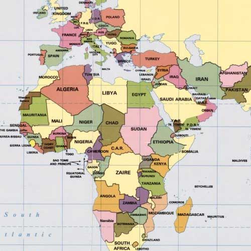
 MapOffice map of the Colony and Protectorate of Nigeria, 1932 Shows boundaries, towns and cities, railways and roads, telegraph and telephone lines, offices, mica occurrences, etc. "Compiled from information received prior to December 31st, 1931." Relief shown by form lines. Available also through the Library of Congress Web site as a raster image.
- Contributor: Nigeria. Survey Department
- Date: 1931-01-01
- Resource: Image
-
 CollectionGeneral Maps This category includes maps that typically portray the physical environment and a variety of cultural elements for a geographic area at a particular point in time. The maps in this category show a geographic area larger than a city or town and do not display a subject that is part of one of the thematic categories.
- Date: 1290
Collection Items: View 6,866 Items